Mystical origins of the Peddars Way
No-one can say with certainty when the first part of this route – the Peddars Way – came into existence and part of the fun of walking it is to find your own clues and come up with an answer. Some say that the route was formed just after Queen Boudicca’s very-nearly-successful attempt to drive the Roman invaders into the sea. The theory is that the Emperor Nero ordered the path to be built in order to move his troops quickly over the area and inflict vengeance on the troublesome East Angles, which, by all accounts the Romans did with terrible ferocity.
Others say that the route was part of a much longer pathway extending to Cornwall but the purpose of this has never been satisfactorily explained.
The most intriguing claim is made by those who point out the incredibly straight nature of the path: they pose the very relevant question ‘who would have wanted to take a super-fast route to Holme? Why?’ ( Sorry present day Holme, no offence – we highlight your incredible beauty in the book ). The solution, say these folk, is to be found in the fact that 500 million years ago when Norfolk was connected to Europe it provided a fast track for traders to get to markets on the Continent.
Knettishall Heath to Holme; total distance 46 miles
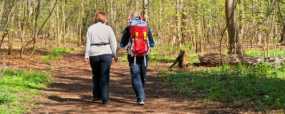
Walkers on the Peddars Way
This first part is best considered in manageable chunks: of course, what you consider the right length of each will depend very much on how fit you are and also on how fast you wish to proceed. On our journey, we split it into four, the longest being the first, at 14.5 miles; the second, from Little Cressingham, to Castle Acre is 11.7; the third, to Sedgford is 13.9, and the last, to Holme and Hunstanton, around 8.9. It is marvellous in that, although brimming with interest both on and just off the path, all of it is pretty much accessible to all ages and abilities. You can also cycle most of it and horse riders will find few problems, although they may have sometimes to take a special parallel route.
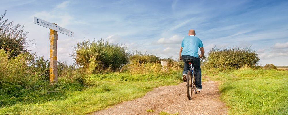
Cycling is another way to enjoy the Peddars Way
Here are some features of special interest we found as we went along.
The first section is very easy and popular with many folk for a walk prior to Sunday lunch. You will cross streams, walk beside dark, tilled fields edged by magnificent trees ( the Jay is responsible for many of these as each bird will ‘hide’ several thousand acorns each spring to theoretically retrieve in the winter ) and you may be lucky enough to spot a Red, Roe or Muntjac deer. The Woodlark, Stone Curlew, Woodland Jays, Sparrowhawks and Crossbills are a few of the birds who have taken a liking to the relatively newly planted Corsican pines.
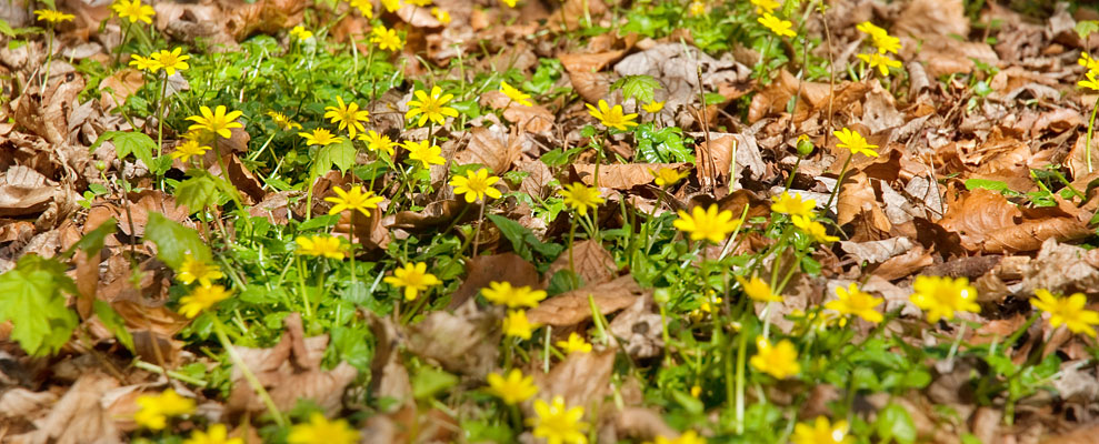
Yellow flowers form part of the beautiful flora found along the Peddars Way
The land has always had precious little commercial value. Once wild horses were to be found here and the Normans introduced rabbits, protected by special ‘Warreners’: the rabbit industry was one of the mainstays of employment here right up to the 1930s. Thereafter, the UK government decided to plant hundreds of thousands of pine trees which, even now, you can witness struggling to gain the life-giving sun by straggling upwards often to a great height. Thus was produced the largest man-made forest in England.
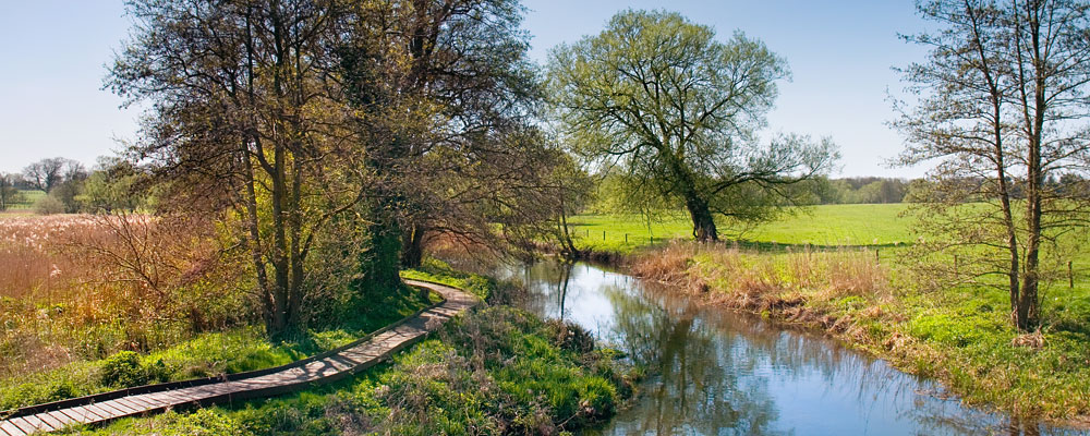
The River Thet runs through the Peddars Way
You will edge the Stanford Battle Area which is a training area for the British Army. In 1942, the government decide to evacuate the villages of Buckenham Tofts, Langford, Stanford, Sturston, Tottington and West Tofts, assuring the villagers that their homes would be available again after the war. Unfortunately, this was not the case, and the area remains today a training ground for UK troops going to Afghanistan and elsewhere. There is a tragic and legendary story – told in the book of our travels – of Lucilla, a resident who began a fruitless five-year campaign to regain her home. In 1950 she was told she would never be allowed to return and, on Remembrance Day, she hanged herself.
This is Pingo country and you will see some of these small ponds which, 20,000 years ago, were hills of ice.
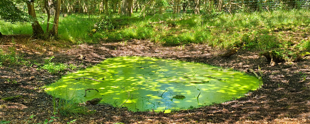
The Pingos at Thompson were hills of ice formed 20,000 years ago
Just off the path is Grimes Graves, a flint mining complex, where much of the exquisite flint from which many of Norfolk’s finest buildings were built, was extracted. Deer antlers were used to hack out the flint and the site gained especial importance at the time of the Napoleonic Wars when up to 300,000 gunflints a month were supplied to Wellington’s men.
You will pass through some exquisite villages including Little and Greater Cressingham and Castle Acre, where the Cluniac Order became established just after the Conquest. You will also edge Houghton Hall, a fine Palladian house, once the home of Sir Robert Walpole, Britains first Prime Minister.
Before long the air changes to the salty tang of the immense ocean ahead and so you can both smell and see Holme-Next-the-Sea before you. The Dunes are a wonderland of huge flat golden sands, wild grasses, fungi, moths – this is the ‘moth capital of England’ as up to 900 different varieties are blown over from the continent – butterflies and dragon flies. A sign near the dunes tells you that you have completed the whole of the Peddars Way! If you still have energy left to burn, then continue your journey along the coast to Hunstanton, where you can begin the start of the Norfolk Coast Path finishing up at Cromer.
Discover other walks and attractions on our tourist map of Norfolk.
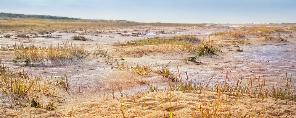
The Peddars Way ends at Holme next the Sea
Written by © Stephen Browning 2013 | www.facebook.com/stevebrowningbooks
Photography © 2015 Daniel Tink
‘Peddars Way and the Norfolk Coast Path’ by Stephen Browning and Daniel Tink is published by Halsgrove at £14.99. Available from local bookstores and online from Amazon.

